France was the first country in the world to have an organized road numbering system. The roads were numbered administratively during Napoleon’s time, and by the early 20th century, road types were indicated on the panneaux. France became the first country where people could travel long distances on comfortable, well-numbered roads with some logical understanding.
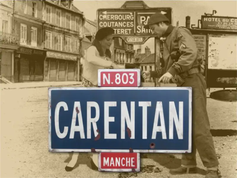
The N (National Route) roads all run clockwise from Paris, with numbers 1-17 closest to the capital and 212 furthest. Each department has its own road numbering rules for D (Departmental) roads. In the 1930s, many G.C. and D roads were reclassified as N roads, leading to confusion during World War II, especially among the Allies. The signs for G.C. and D roads were often produced by Dunlop, with a characteristic typeface, while the impressive Panneaux Michelin were used for N roads.